
Not much snow this winter means less protection for the summer.
Summer is on its way. There’s still snow on the glaciers, but anyone who’s been out and about this winter has noticed: the snowpack is thin. Where in other years deep, powdery snow cushions the slopes, this season the ground is visible in many places.
Before summer arrives, here is a selection of photos our cameras captured this winter: quiet mornings over the Pers, the view toward Piz Bernina, clouds breaking over Piz Palü, the distinctive blue light of early morning when the valley is still in shadow and the ridges are already bathed in sunlight.
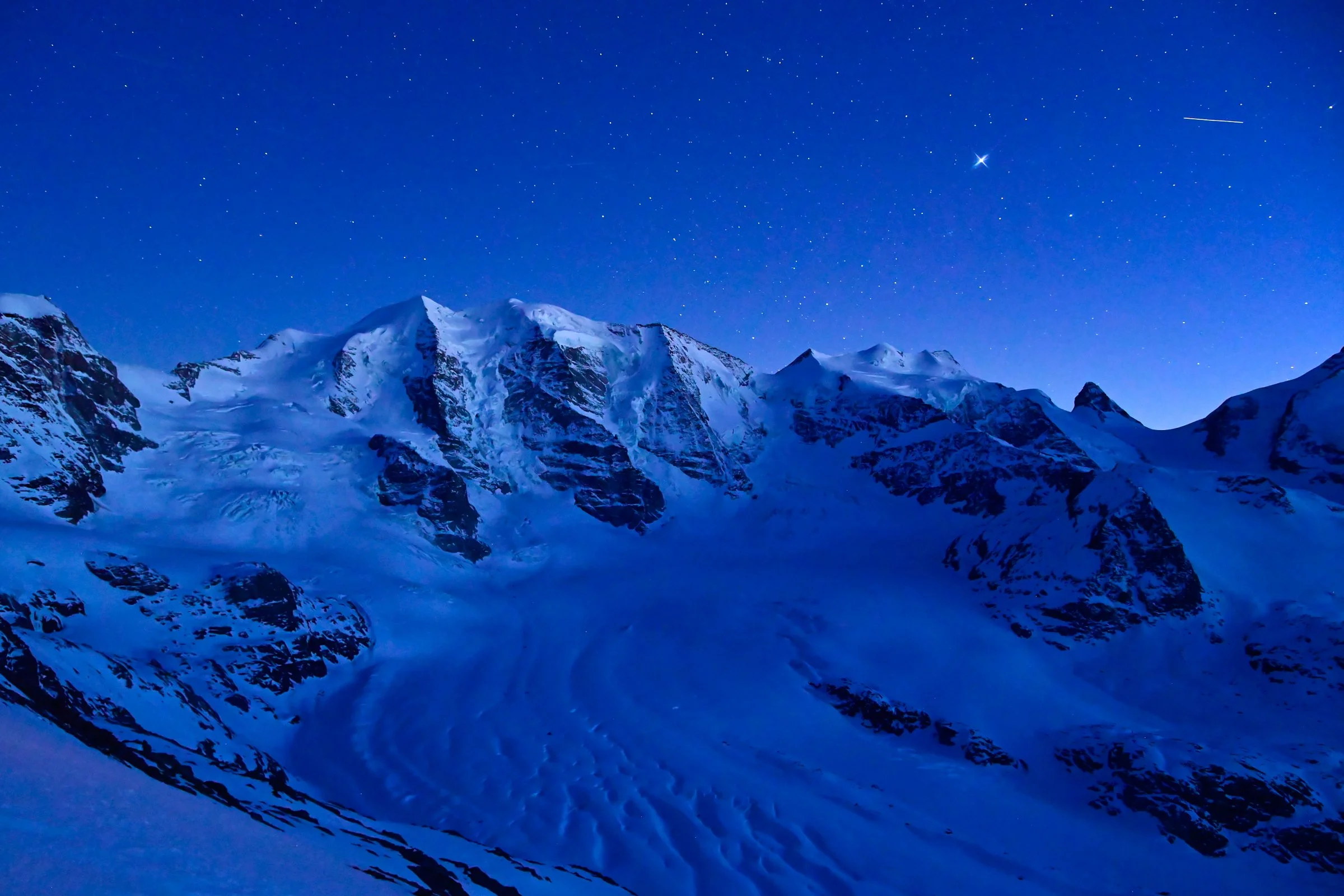
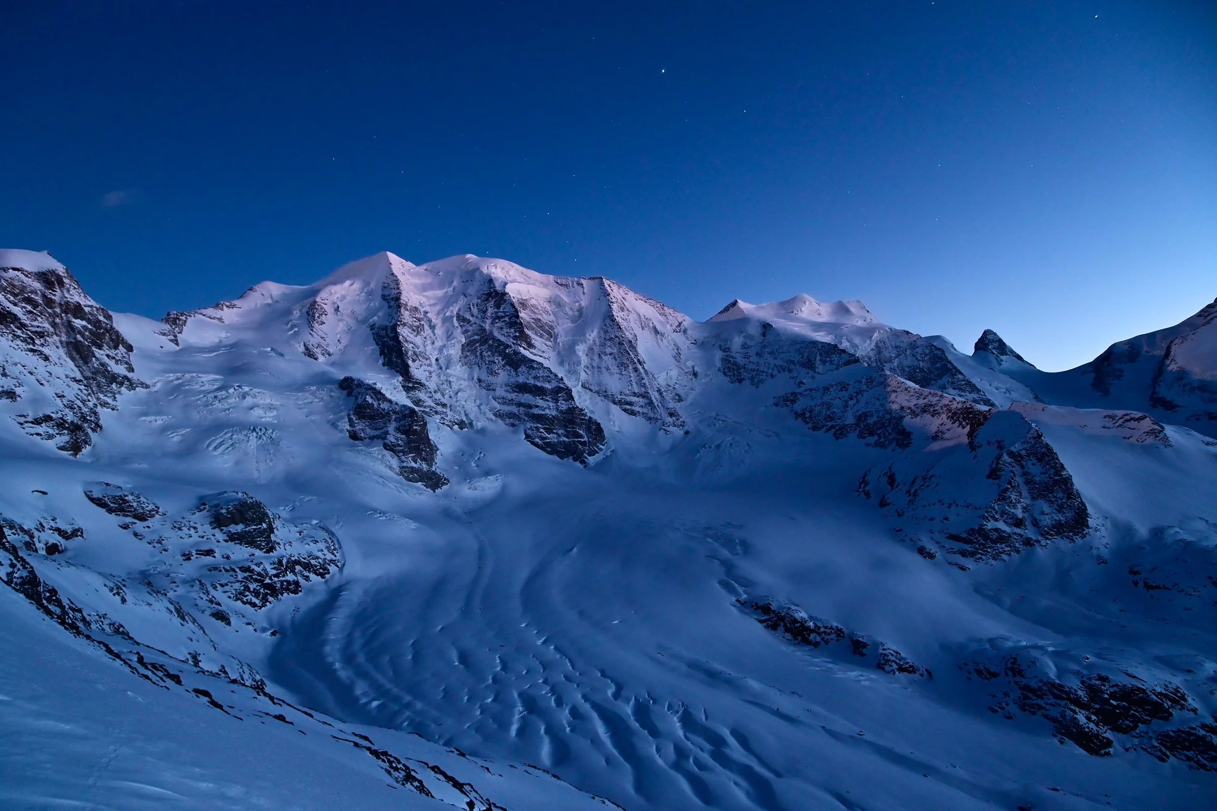
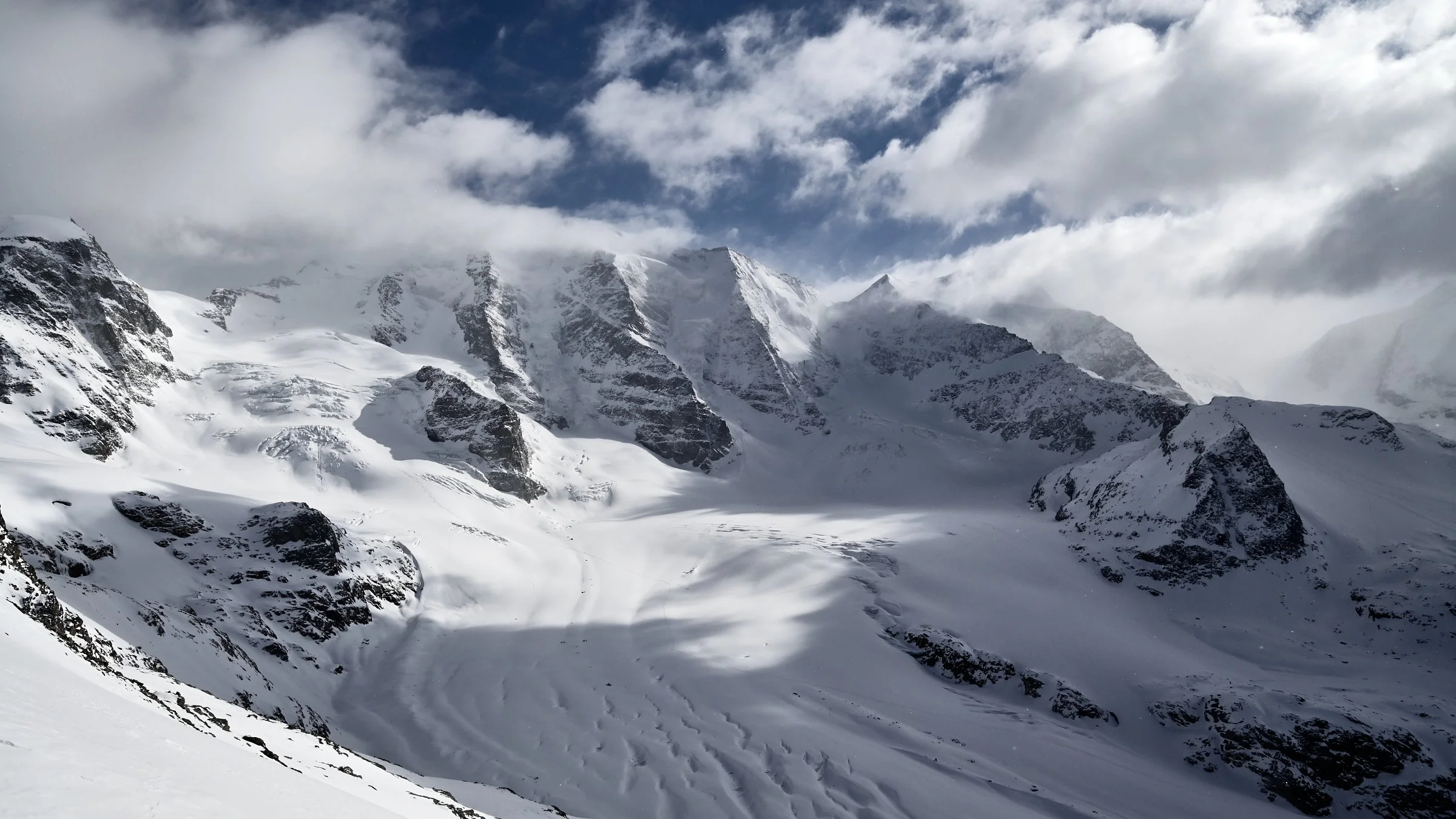
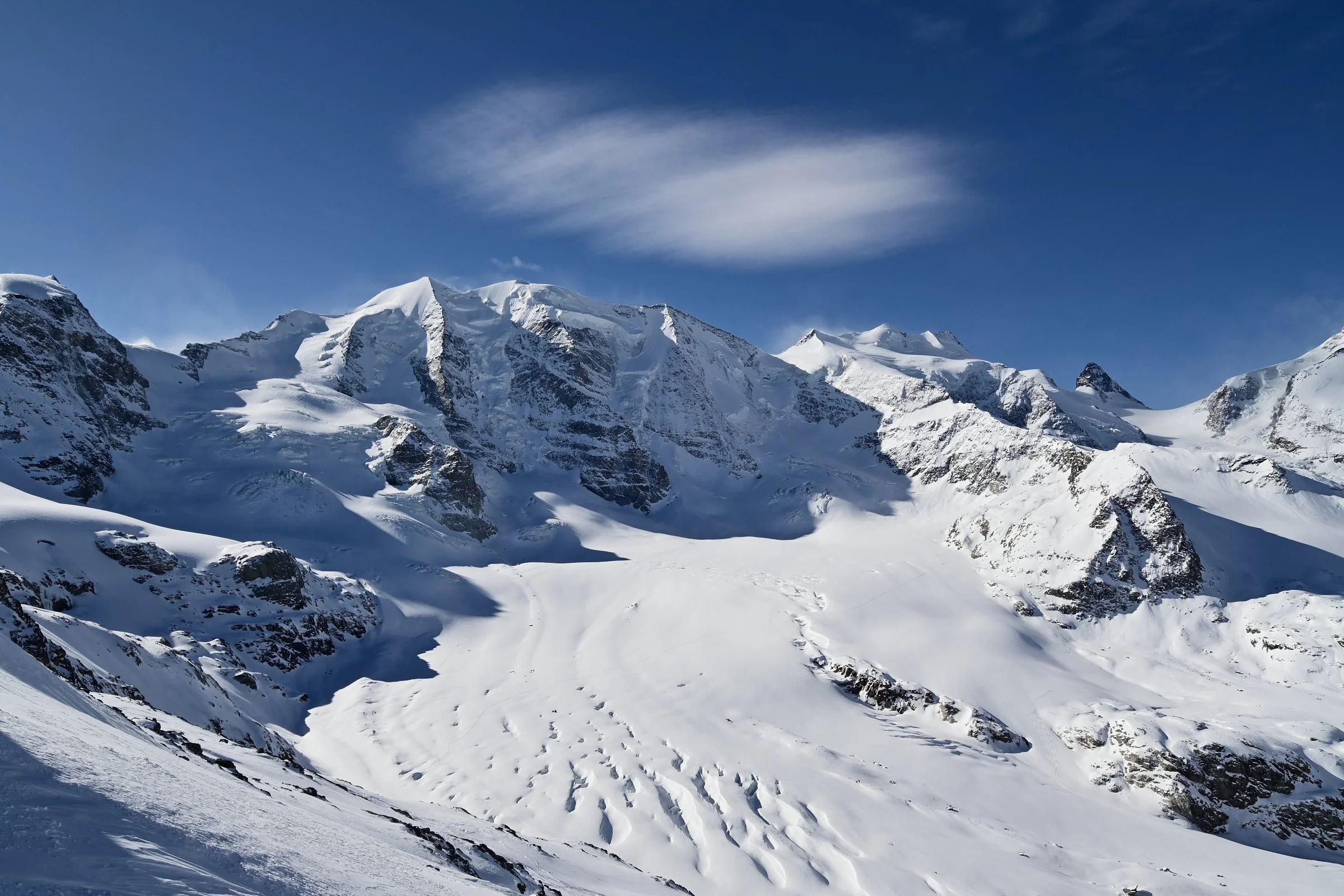
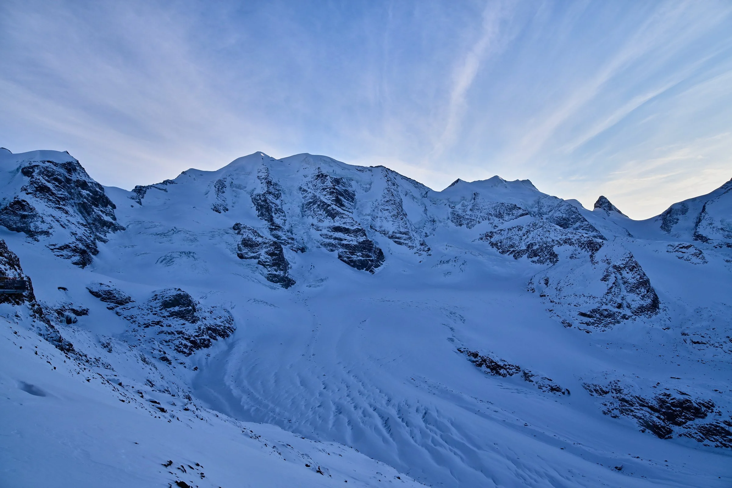
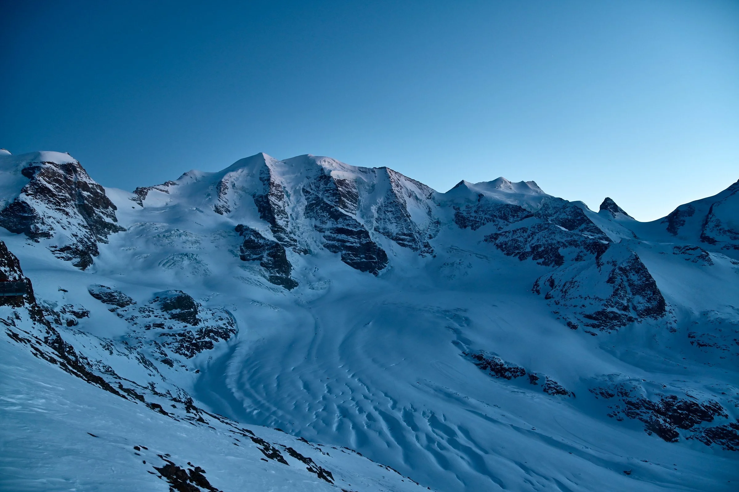
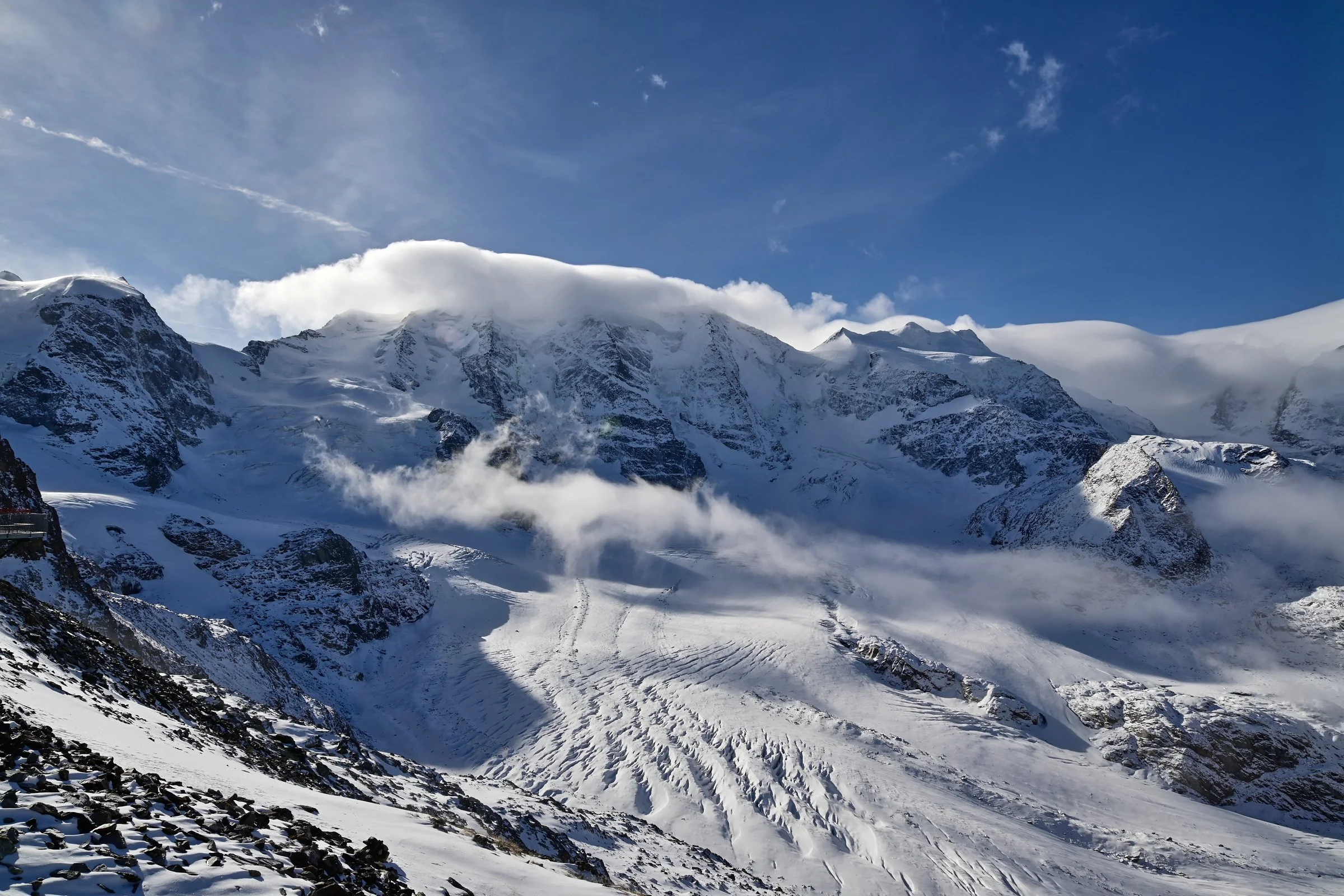
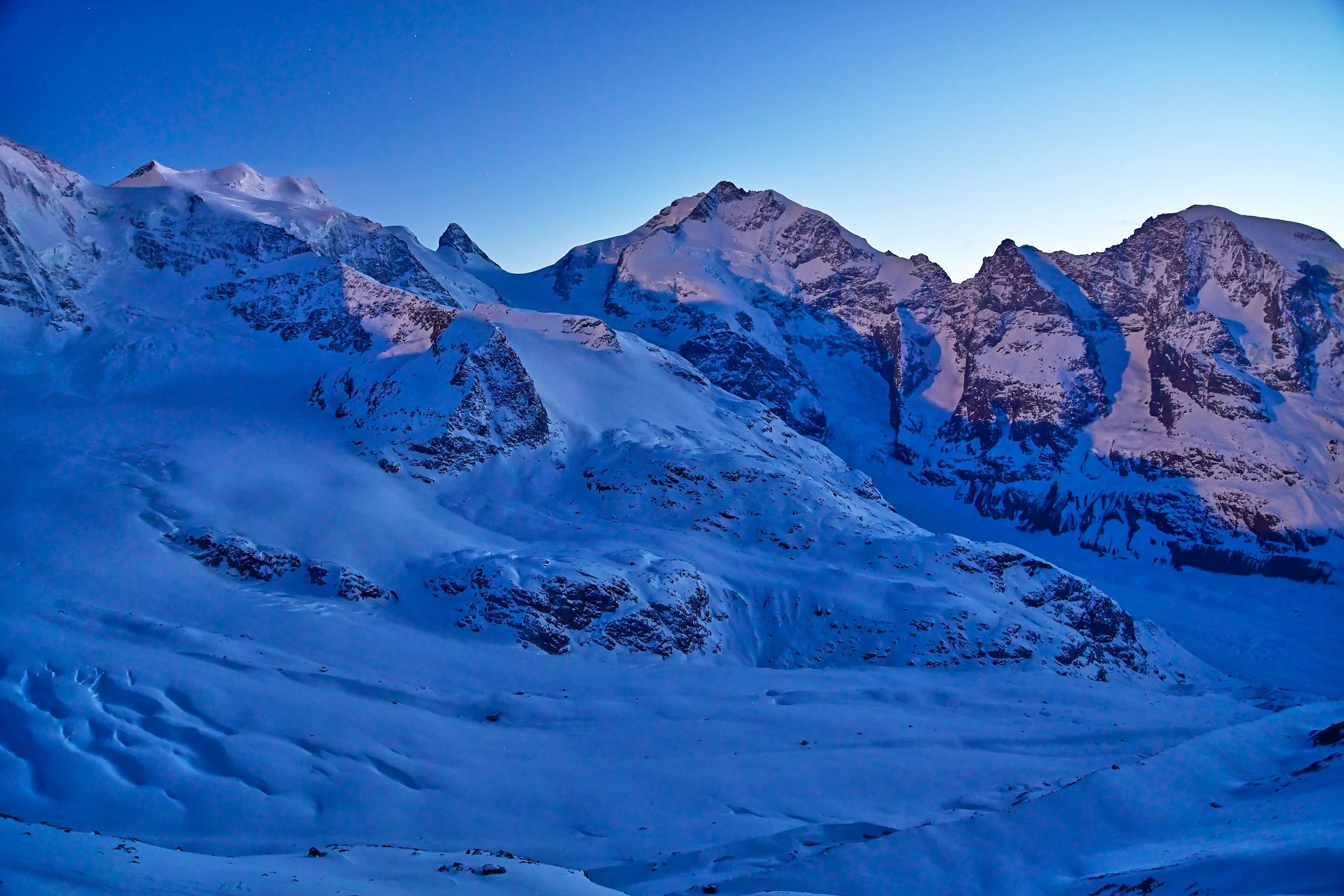
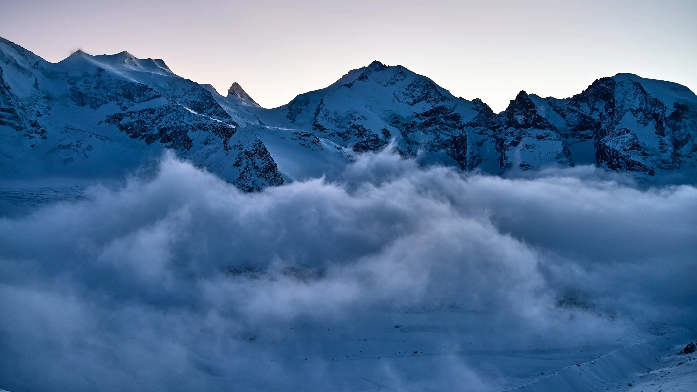
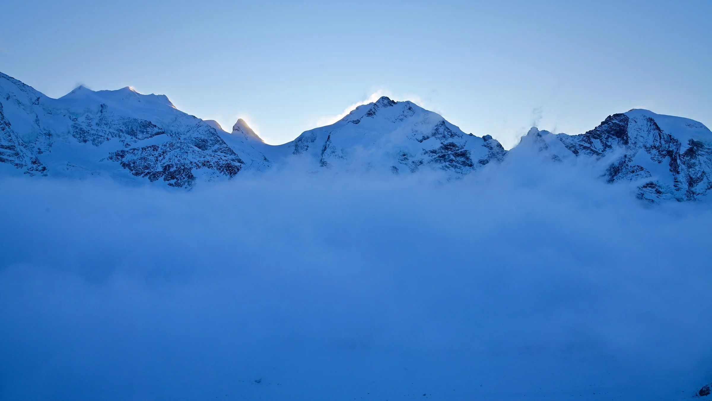
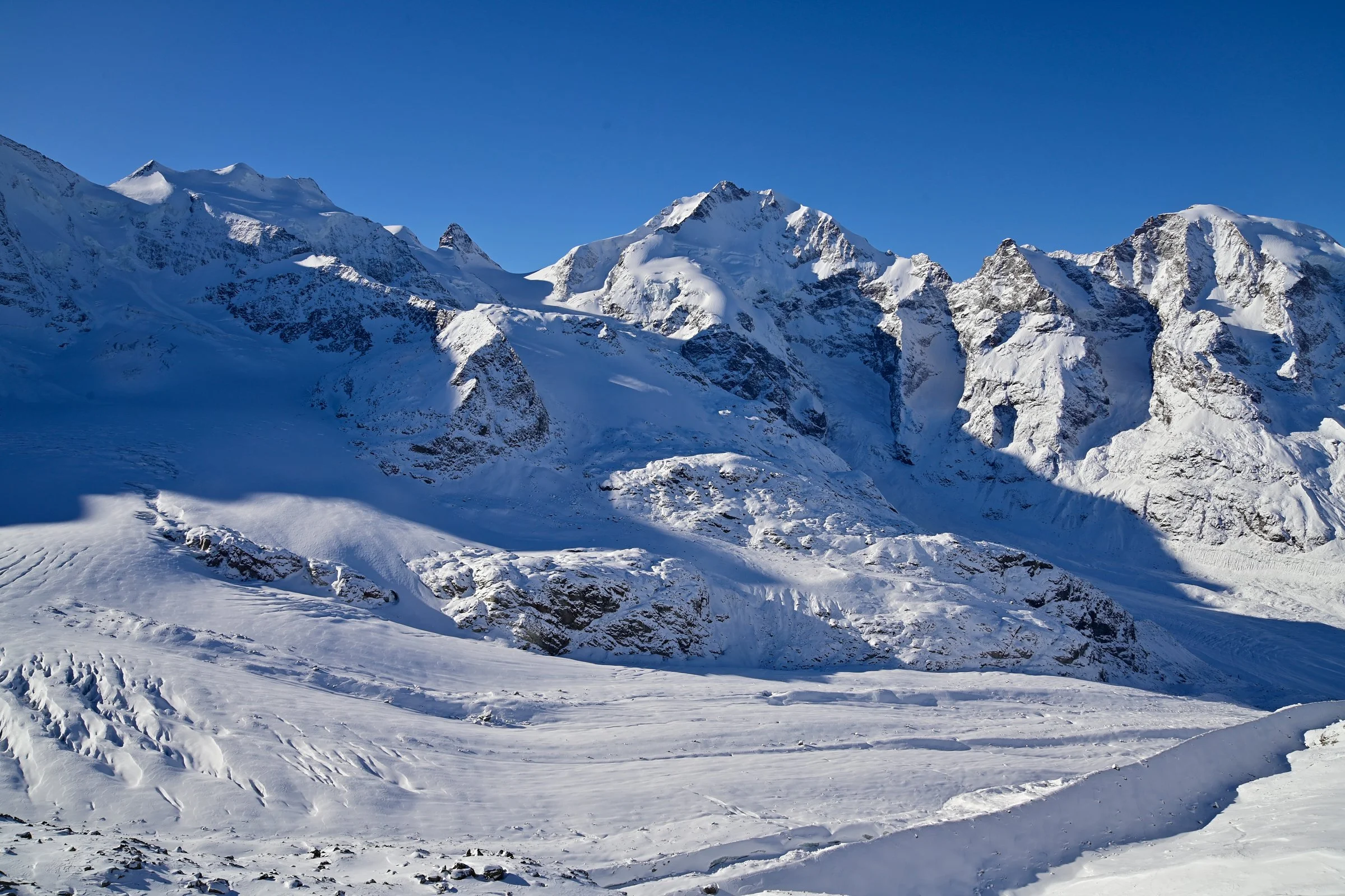
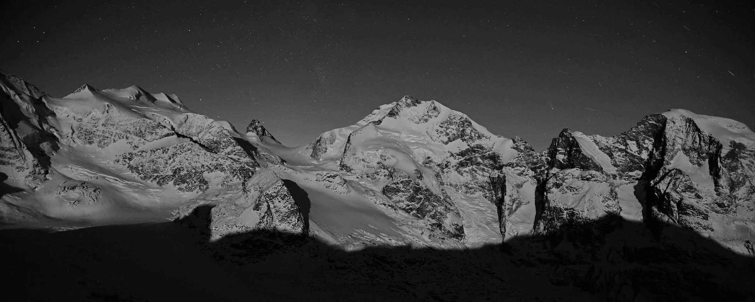
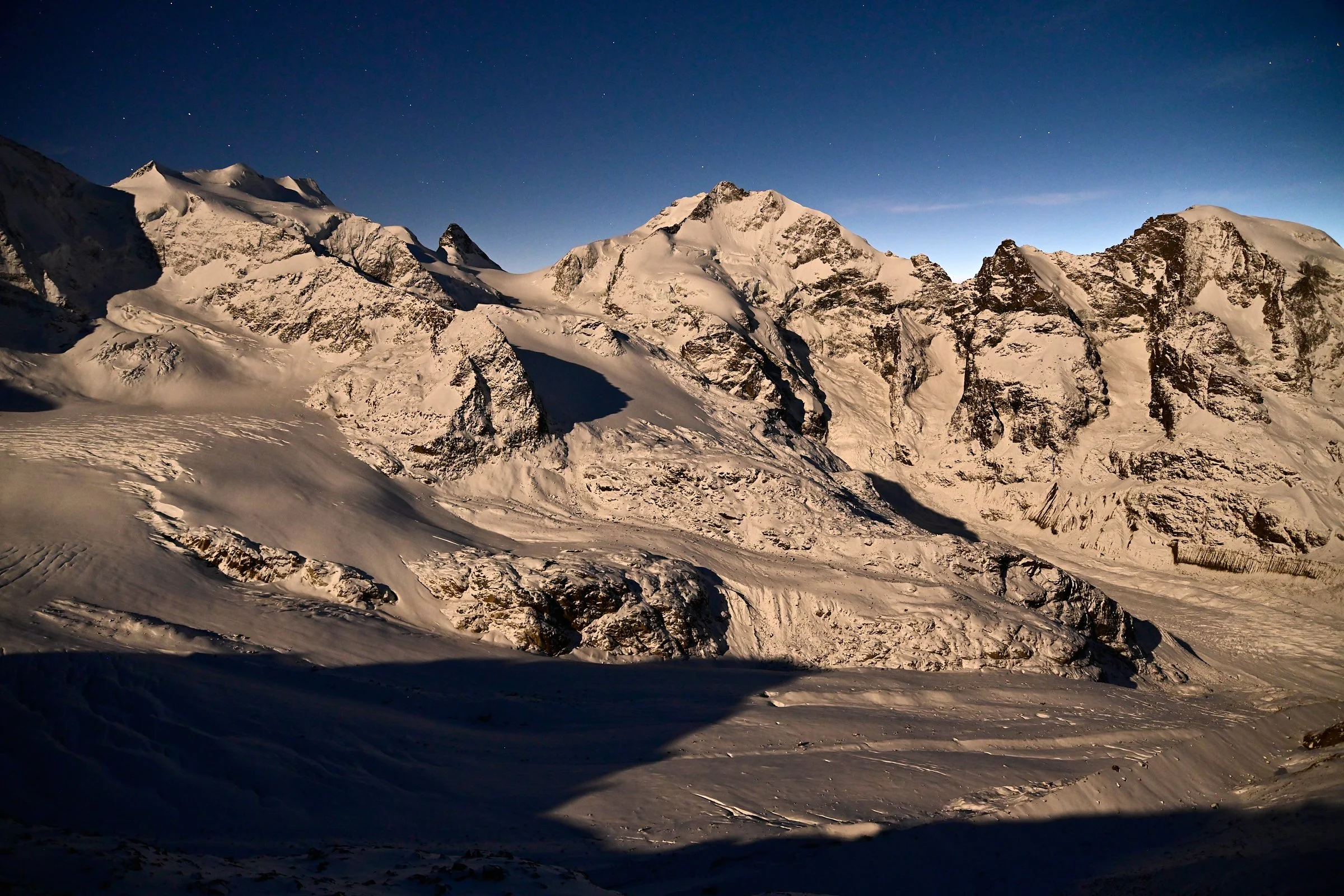
The surprising thing is this: it wasn’t a mild winter that caused the lack of snow. Anyone who remembers the crisp cold of New Year’s Eve and the starry days between Christmas and Epiphany feels as though they’ve experienced a real winter. Yet that impression and the measurement data tell two different stories. Both are part of this winter, and both are interesting.
If you look closely, you'll spot something else in these pictures. The snow cover on the glaciers is noticeably thin this season. This isn't just an aesthetic detail; it's a physical piece of information that will play a big role in the coming months.
So, what's a "low-snow winter"? It's a season with significantly less fresh snow than the average for the 1991 to 2020 reference period, as measured by the WSL Institute for Snow and Avalanche Research SLF in Davos.
What was measured
MeteoSwiss classified the winter of 2025/26 as having a nationwide average temperature of -0.2 °C, which is 1.6 °C above the 1991–2020 reference value and ranks as the 6th warmest winter since records began in 1864. December was 2.0 °C above the reference, and February was as much as 3.3 °C above. Only January fell slightly below the average at -0.6 °C. This cool period included memorable cold spells, such as New Year’s Eve with a temperature of -10.4 °C in Zurich-Kloten.
The situation is similar when it comes to snow. In its winter review (as of March 30, 2026), the WSL Institute for Snow and Avalanche Research (SLF) classified the winter as having been notably snow-poor. Since November, total new snowfall across Switzerland has been only 50 to 75 percent of the long-term average. The greatest deficit was recorded in eastern Switzerland, which includes the Engadin. For St. Moritz, snow depth was documented at around 46 percent of the normal value.
What is truly remarkable is the combination of factors: too little precipitation and, on average, too warm temperatures. Together, these two factors explain why the snow cover on the glaciers in the Engadin has remained so thin this season.
The physics behind it
Fresh, dry snow reflects 80 to 90 percent of incoming shortwave solar radiation. Older, settled snow typically reflects 40 to 70 percent. Bare, slightly dirty glacier ice often reflects just 20 to 35 percent, depending on its condition. These figures are reproducible in the field and have been confirmed many times in labs. We've described this mechanism in detail in our article on the Glacier Albedo Effect.
So, here's the simple balance: As soon as that protective snow cover disappears and the ice is exposed, the amount of solar radiation absorbed doubles or even triples. More energy means more melting.
What this means for the coming months
A thin snow cover melts away faster. So, Pers and Morteratsch will likely expose their underlying ice earlier than in seasons with normal snowfall. Exactly how early depends on what happens in the coming weeks: the rainfall in April and May, how often high-pressure systems occur, any Saharan dust deposits that further reduce albedo, and the air temperature. We measure these variables; we don't just guess.
A factual overview
In its winter review, the SLF clearly states that the low snowfall in winter 2025/26 can mainly be explained by natural climate variability. We've seen similarly dry winters before, like in 1957 and 1964. Plus, long-term climate projections for the Swiss Alps actually expect wetter, not drier, conditions for winter months. So, one winter with little snow isn't proof of a trend. But it does let us observe the physical mechanism clearly: Less snow means less protection, and less protection means a less favorable energy budget for the glaciers this particular season.
Common Questions
How much snow fell in the Engadin during winter 2025/26? According to the SLF, total new snowfall across Switzerland since November was 50 to 75 percent of the long-term average (1991 to 2020). In the St. Moritz area, snow depth was recorded at about 46 percent of the normal level.
Why does a glacier melt faster with less snow? Snow reflects 80 to 90 percent of solar radiation, while bare glacier ice only reflects 20 to 35 percent. So, if the snow cover disappears earlier, the ice absorbs two to three times more energy and melts much faster.
Is the low-snow winter of 2025/26 a result of the long-term climate trend? No, the SLF mainly attributes the low snowfall to natural climate variability. We've seen similarly dry winters before, like in 1957 and 1964.
What factors determine when the Morteratsch Glacier will become snow-free this season? It's all about the rainfall in April and May, how often high-pressure systems come through, any Saharan dust deposits, and the air temperature. All four of these are continuously measured.
Sources
Scientific and Institutional Sources
Snow Depth Data Sources
Our Own Articles on glaciers.today
